National Park Trail
Hellroaring Creek Trail
About
Length: 6.7 miles
Trail Begins: Hellroaring Trailhead
Trail Ends: Yellowstone National Park's north boundary with Gallatin National Forest
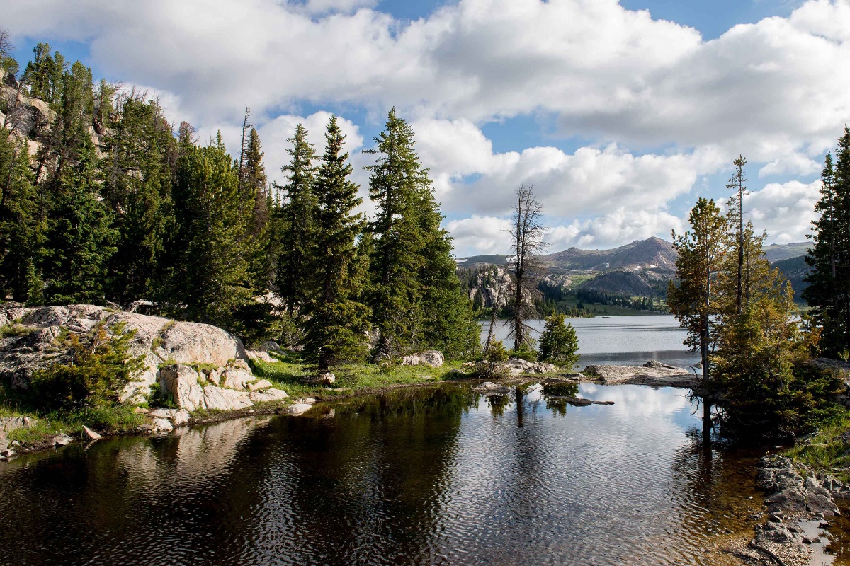
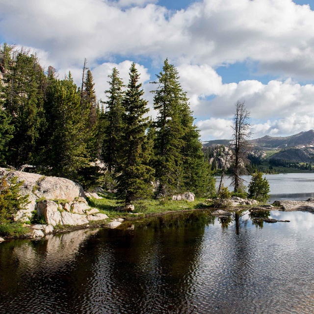
The Hellroaring Trail travels from the Mammoth-Tower Road to the park's north boundary and continues into the Gallatin National Forest. The trail follows Hellroaring Creek through sageland and stands of Douglas fir and past rock outcrops over 2 billion years old. Pronghorn, elk, mule deer, moose and bison may all be seen along the Hellroaring Creek Trail from November to June. During the summer chances aren't very good for seeing large animals, although moose and mule deer are sometimes spotted in the morning. The confluence of Hellroaring Creek and the Yellowstone River is a delightful spot. There is the cold clear rushing water of the creek, the deep surging river, a sandy beach and the sheer walls of the Black Canyon of the Yellowstone. Osprey nest in these cliffs and are frequently seen flying over the river looking for trout. The Hellroaring Trailhead is 3.5 miles from Tower Junction on the Mammoth-Tower Road and is just north of Floating Island Lake. The trail descends a series of switchbacks, dropping about 600 feet in a mile to the suspension bridge over the Yellowstone River. The trail then travels through sagebrush, past the Buffalo Plateau Trail junction, to the junction with the Yellowstone River Trail. From the junction, the Hellroaring Creek Trail heads north up the forested valley of Hellroaring Creek. Hellroaring Mountain looms high above on your left and Buffalo Plateau rises to your right. About a mile past the junction a patrol cabin will come into view across the creek. From here it is a half mile further to the stockbridge over Hellroaring Creek. The bridge crosses over a calm, deep pool of the creek. Look down while crossing and you may be able to see cutthroat trout swimming in the clear water below you. (Once across the bridge, there is a trail leading south along the west side of the creek back to the Yellowstone River Trail). From the bridge, the Hellroaring Creek Trail continues north through the rocky forested valley to the park's north boundary. The trail continues into the Gallatin National Forest where several long loop hikes are possible.
Contact
MAILING ADDRESS
PO Box 168
Yellowstone National Park, WY 82190
Yellowstone National Park, WY 82190
CONTACT
307-344-7381
Details
SPECIAL DIRECTIONS
The Hellroaring Creek Trail travels from the Mammoth-Tower Road to the park's north boundary and continues into the Gallatin National Forest. The Hellroaring Trailhead is 3.5 miles from Tower Junction on the Mammoth-Tower Road and is just north of Floating Island Lake.
SERVICES
Trail
ACTIVITIES
Bird Watching
Hiking
Nature
Outdoor Activity
Photography
Picnicking
Sightseeing
Wildlife Viewing
See what's nearby
Filter:
Show All
Where To Stay
Things To Do
Food And Drink
Grid View
List View

3 Lazy H Yellowstone Lodging
Vacation Home
Gardiner, MT
406 Lodge
Hotel/Motel
Gardiner, MT
A Naturalist's World
Nature Tour
Gardiner, MT
A Western Rose Cabin LLC
Vacation Home
Cooke City, WY
A Yellowstone Park View
Vacation Home
Gardiner, MT

Absaroka Lodge
Hotel/Motel
Gardiner, MT
Amphitheater Summer Cabin
Cabin
Cooke City, MT

Antlers Lodge
Lodge
Cooke City, MT

Artisan Cabin in Yankee Jim Canyon
Vacation Home
Emigrant, MT
