
National Park Trail
Belly River Trail
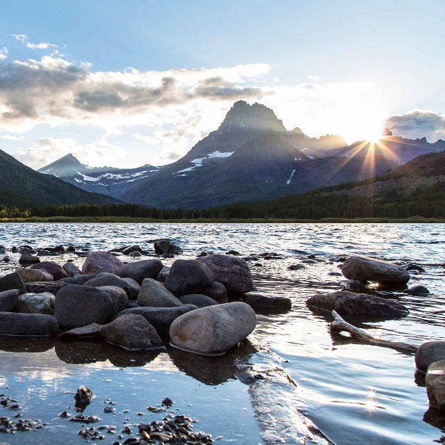
About
Belly River Trail begins at Chief Mountain customs, on a ridge overlooking the Belly River Valley. The trail continues up the river to the Belly River Ranger Station. At this point trails to Gable Pass and the Mokowanis River valley converge with the Belly River Trail. The elevation gain along this trail is 492 feet and the maximum elevation is 5,329 feet.
From Chief Mountain Customs to Belly River Ranger Station (6.1 miles), from Chief Mountain Customs to Elizabeth Lake (9.5 miles), or from Chief Mountain Customs to Helen Lake (12.2 miles).
Length: 6.1 miles
Trail Begins: Chief Mountain Road
Trail Ends: Belly River Ranger Station
USGS Map1: Park Map
Contact
MAILING ADDRESS
PO Box 128
West Glacier, MT 59936
West Glacier, MT 59936
CONTACT
406-888-7800
Details
SPECIAL DIRECTIONS
The Belly River Ranger Station Trail can be accessed from Chief Mountain Customs trailhead, located on Montana State Highway 17, within sight of the Border Patrol buildings.
SERVICES
Trail
ACTIVITIES
Bird Watching
Environmental
Hiking
Nature Area
Picnicking
Sightseeing
Walking
Wildlife Viewing
See what's nearby
Filter:
Show All
Where To Stay
Things To Do
Food And Drink
Grid View
List View

Apikuni Falls Trail
National Park Trail
Glacier National Park

Aspenwood Resort Campground & RV Park
Private Campground
Browning, MT
Aster Park Trail
National Park Trail
Glacier National Park

Avalanche Creek Campground
National Park Campground
Glacier National Park

Avalanche Lake Trail
National Park Trail
Glacier National Park
Backpackers Ferry
Shuttle Service
Browning, MT
Beaver Pond Loop
National Park Trail
Glacier National Park
Blackfeet Culture Camp
Cabin
Blackfoot, MT

Boulder Pass Trail
National Park Trail
West Glacier, MT
