National Forest Trail
McClellan Creek Trail
About
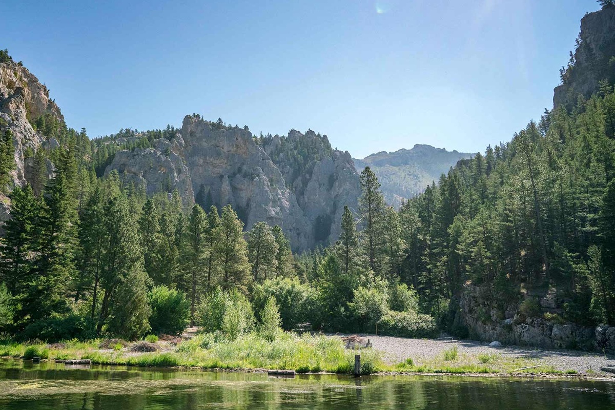
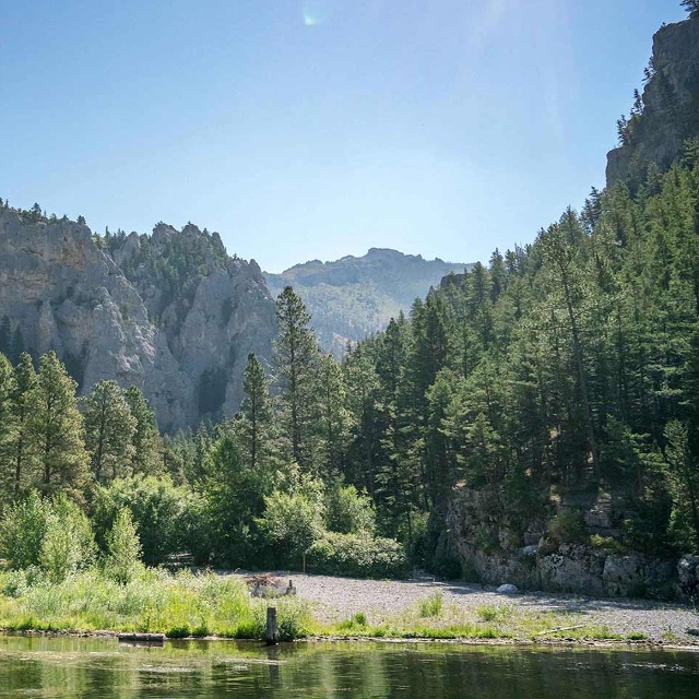
The length of this trail is 6 miles. Coordinates are Township 8N; Range 2W; Section 10. Trail begins at Trail Junction 343 and ends at Trail Junction 113. Maps available are the Helena National Visitor Map, Elkhorn Mountains Travel and Recreation Map, and USGS Map1 Casey Peak.
Contact
MAILING ADDRESS
2880 Skyway Drive
Helena, MT 59601
Helena, MT 59601
CONTACT
406-449-5490
FAX
406-449-5740
Details
SPECIAL DIRECTIONS
Take I-15 to Montana City Exit and head east; turn right onto the McClellan Creek Road (just past the pizza restaurant.) Continue on this road approximately 6.5 miles to the Crystal Creek/McClellan Creek Junction turn right, and continue another 2 miles to the Casey Meadows/McClellan Creek trailhead. Another way to access the trailhead is to take Highway 12 East, 2-miles east of East Helena, turn south onto McClellan Creek Road. Either route is approximately 10 miles on dirt roads. Park next to the bridge; walk across the bridge to access the trailhead.
SERVICES
Trail
ACTIVITIES
Bird Watching
Hiking
Horseback Riding
Nature Area
Picnicking
Sightseeing
Walking
Wildlife Viewing
See what's nearby
Filter:
Show All
Where To Stay
Things To Do
Food And Drink
Grid View
List View

4-R Ranch & Cattle Company
Working Ranch
Clancy, MT

7R Guest Ranch
Guest Ranch
Wolf Creek, MT

A.L. Swanson Craftsman Studios
Art Gallery
Helena, MT

Agee Outfitting
Outfitter/Guide
Helena, MT
Alamo/National Car Rental
Car Rental
Helena, MT

Archie Bray Foundation for the Ceramic Arts
Art Gallery
Helena, MT

Avon Family Cafe
Family Restaurant
Avon, MT

Bar Gulch Cabin
National Forest Cabin
Townsend
Bar Gulch Trail
National Forest Trail
Townsend, MT
